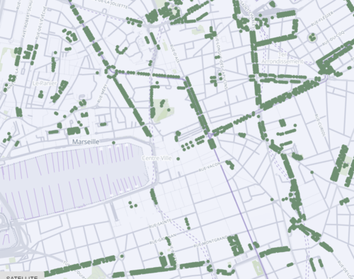
Good tree management in the city starts with a thorough knowledge of the existing trees. The creation of an inventory of tree heritage makes it possible to prevent certain risks of accidents related to trees by knowing their phytosanitary state, to manage the renewal of plantations, particularly in a logic of adaptation to climate change, and to better take into account the nature needs of citizens in the city. However, carrying out an inventory is a long and sometimes costly operation.
Natural Solution is therefore developing an application to carry out these inventories. This collective work stems from the national reference system for urban trees, proposed by the company nam.R*, which has produced a standardised synthesis of open databases on urban trees, by IRIS zone.
To do this, a data schema must be constructed upstream so that the urban tree can be identified as well as the multitude of fields that describe a tree and its environment in the city.
As urban tree management varies from one municipality to another, this leads to a multitude of data models on the urban tree depending on the managers. For example, the model used by Paris to describe urban trees contains 17 fields (circumference, height, etc.), whereas the model published by Montpellier contains 18 very different fields (covering, lighting, etc.).
A common data schema for the urban tree would allow a quality assembly of the collected data and its availability could help to homogenise inventory practices!
On 28 September 2020, Natural Solutions organised a co-construction workshop bringing together Open Data professionals and tree specialists, including the Smart Region Service which is piloting DATA SUD, the NFCL project team from the South Region and the Nice Côte d'Azur Metropolis, partner of the NFCL project, to cross practices and views on this subject.
At the end of a workshop rich in exchanges organised by Manon Frédout, community developer and Angélique Riès, designer of Natural Solutions, the group proposed a data scheme on the urban tree.
It groups together fields to provide information on the identity and characteristics of the tree as well as the environmental constraints to which it is subject. By filling in these fields, it would be possible to find out more about the trees in our cities, to move towards better management methods and to plan what should be planted to adapt to climate change. By filling in these fields, managers will be able to use complementary tools such as the new tree scale or Arbre en Ville!
As this work is carried out in Open Data, the diagram is freely available at schema.data.gouv.fr/NaturalSolutions/schema-arbre/latest.html.
For more information on the EcoTeka project https://www.natural-solutions.eu/ecoteka
Contact Manon Fredout manon_fredout@natural-solutions.eu
* nam.R produces enriched data and geospatial intelligence to enable economic development in all sectors of ecological transition: development of renewable energies, energy efficiency operations, smart grids, short circuits....
